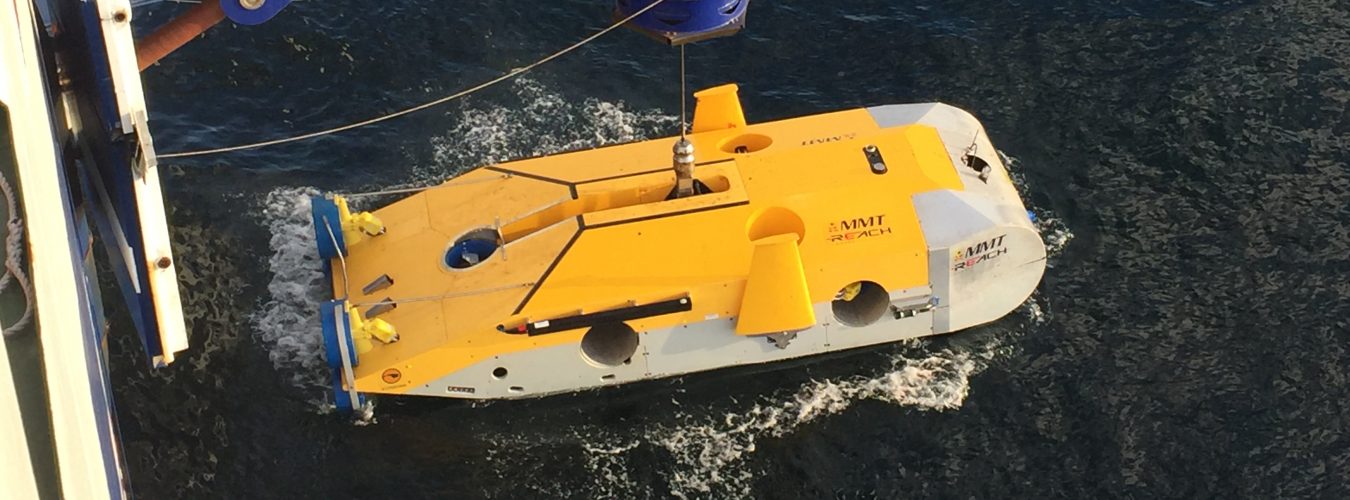
It has been a busy week in the centr,e with numerous talks by visiting speakers and more practical instruction on the MA/MSc programme.  This has seen discussion of advances in AUV technology for extensive and intensive surveys, photogrammetric techniques (onland and underwater) and RTI applications.  This year’s students should now be putting some of these techniques (along with more traiditonal RTK GPS, total station and basic tape measured survey) as part of their ARCH6012 assessments.  When the weather warms up a little we’ll move onto practising techniques underwater.

Inter-tidal and underwater survey methods – a busy week
Avatar photo

Fraser Sturt


I am a specialist in maritime prehistory and geoarchaeology who has been lucky enough to work on projects both on land and underwater across the globe: from survey and excavation in South, Central and North America, through to diver and ROV work in Europe.  Over the last five years my research interests have seen me work on a variety of Research Council funded projects whilst also developing close collaborative links with offshore industries.  I am a member of the Computational Modelling and the Sustainability Science Research Groups.  In addition, whilst the majority of my teaching is carried out in the Faculty of Humanities I also contribute to modules in the school of ocean and earth sciences, as well as broader university-wide multidisciplinary programmes.


Post navigation